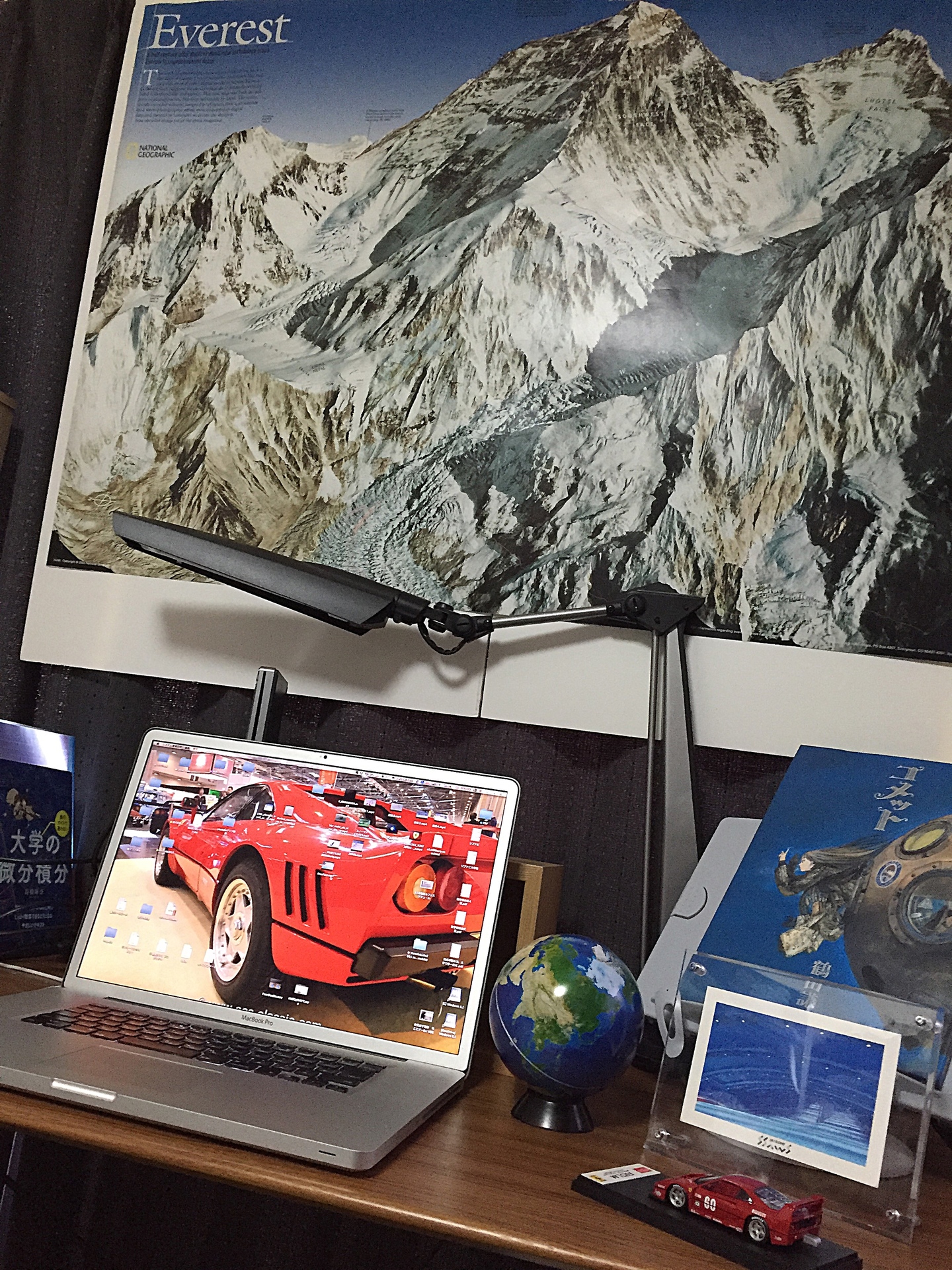
私のパソコンデスクの上にそびえ立つ、Mt. エベレストのポスターの紹介です。
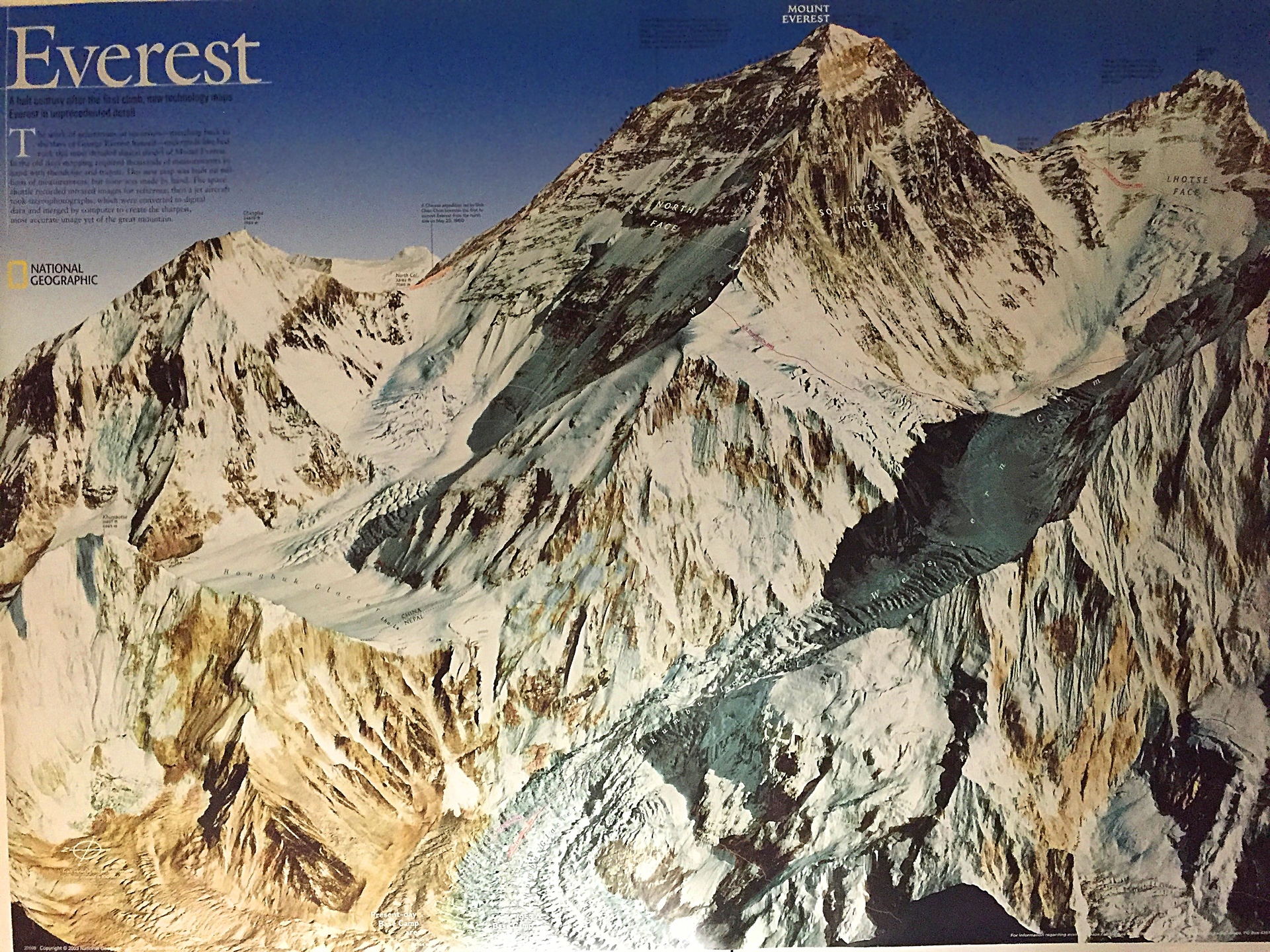
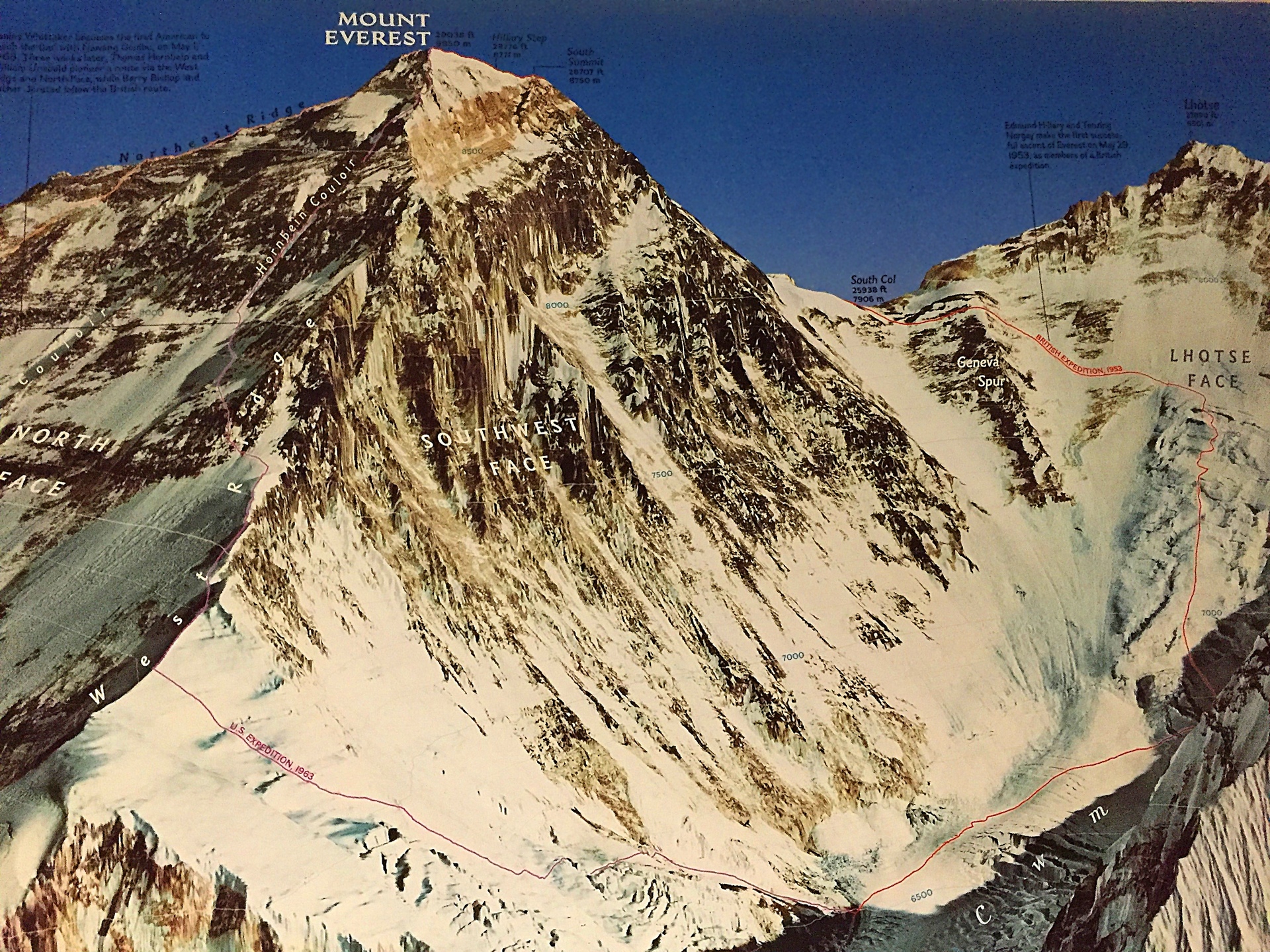
National-Geographic「Mount Everest 50th Anniversary (National Geographic Reference Map)」 エドモンド ヒラリーによる、エベレスト人類初登頂50周年記念ポスター(裏面は地図)2003年発売のものです。
定価は3000円(税別)ですが、現在プレミア価格がついて倍くらいの値段で売られています。
ところで、もしエベレスト山頂からベースキャンプまでスノーボードで滑ったらどうなるか? ふと想像してみました。
8840m~5300m、標高差3500mのスーパーダウンヒル、想像を絶するタフなコース。
酸素が地上の1/3(気圧300hPh、水の沸点70度)。空気抵抗がとても少ないので、とんでもないほどスピードが加速します!
いろんな意味で「デス・ゾーン」です。どこまでスピードが出るかは今度計算してみます(ルンゲ・クッタ法の微分方程式)
I introduce a poster of Mount Everest that soar on my PC desk.
National-Geographic「Mount Everest 50th Anniversary (National Geographic Reference Map)」
The Poster (in the back side a map) of the 50th anniversary of the Mount Everest human first climbing(Edmund Hillary) It is a thing of the release for 2003 years.
The list price is $ 17.99, but there is a premium price and is sold in prices of double now.
By the way, What happens if we slip on a snowboard from the Mount Everest mountaintop to base camp? I imagined it incidentally.
8,840m - 5,300m, a super downhill of altitude difference 3,500m, an unimaginable tough course.
Oxygen of 1/3 than ground (atmospheric pressure 300hPh, boiling point 70 degrees of the water). Because there is very little air resistance, speed accelerates so as to be terrible!
It is the "death zone" in various meanings. I calculate where it drives fast to this time (differential equation of the Runge-Kutta method)
amazonで購入できます。
Mount Everest 50th Anniversary (National Geographic Reference Map)